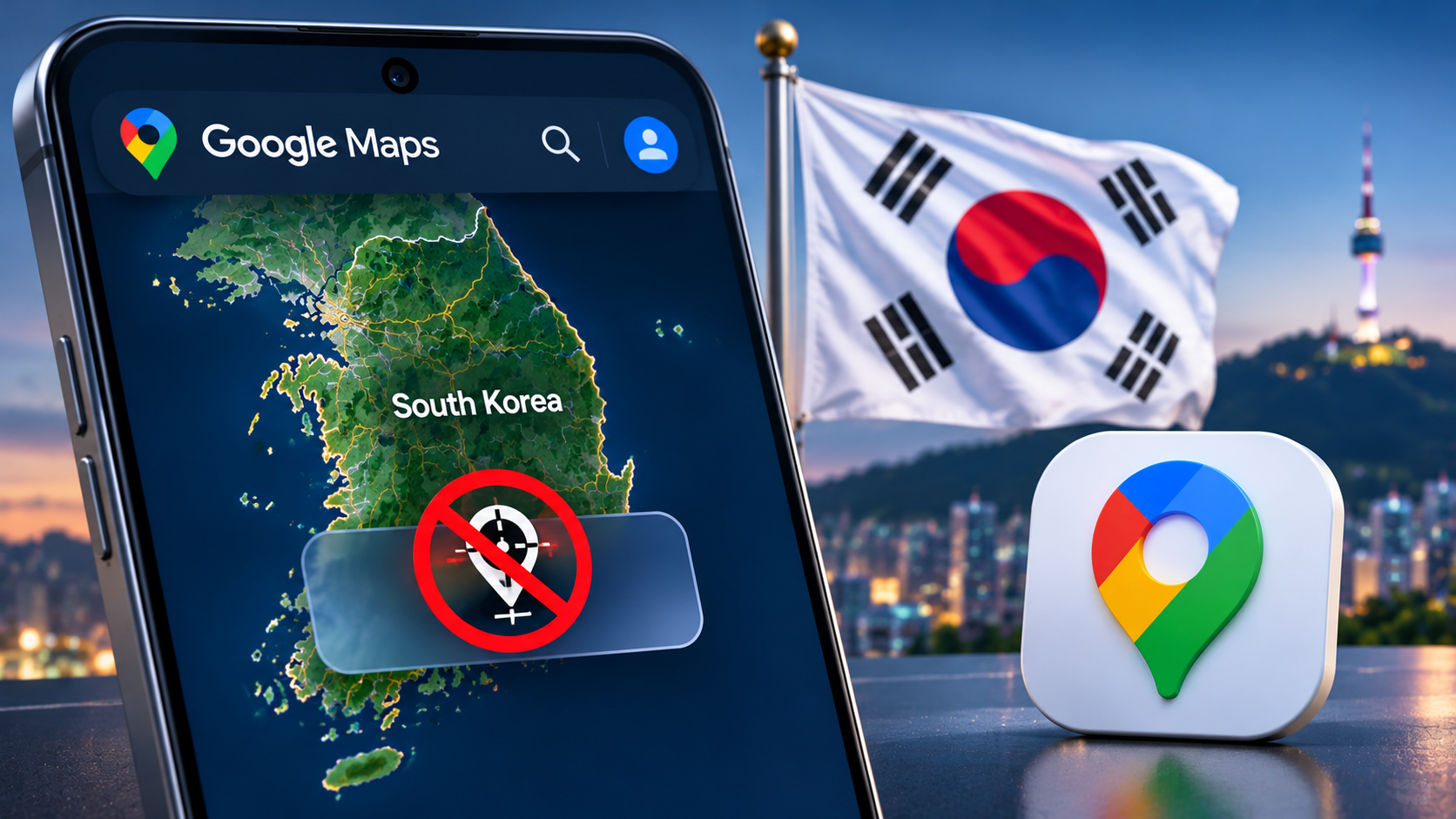

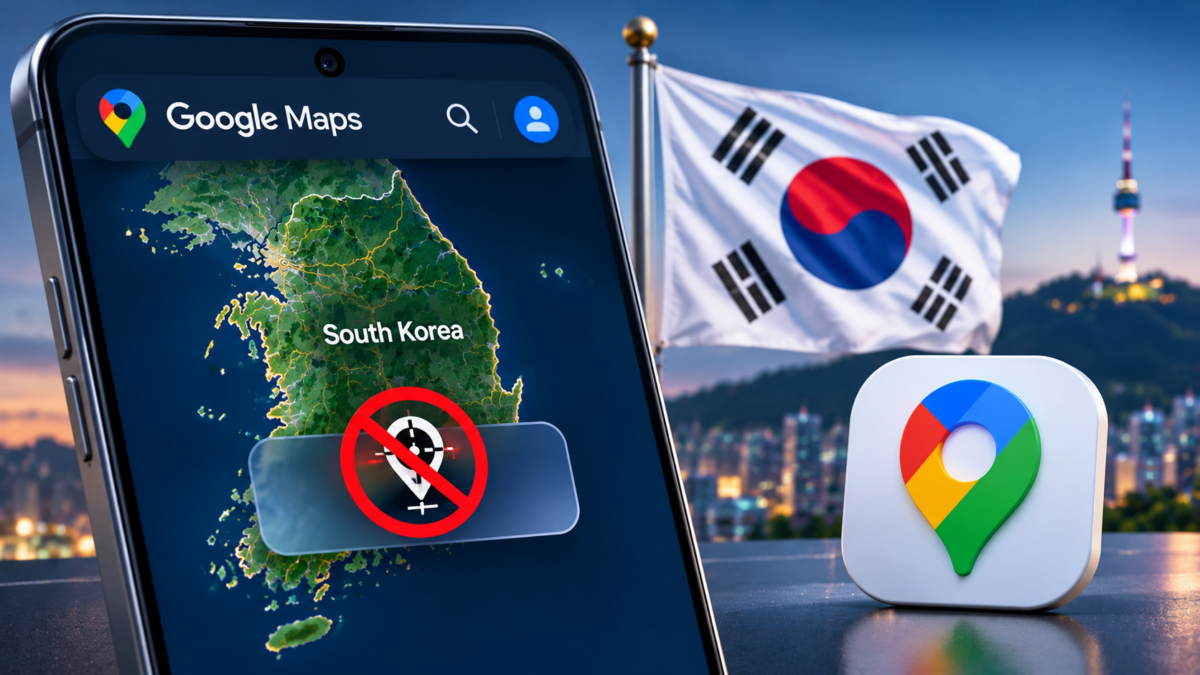

Google has removed latitude and longitude coordinates for South Korean territory from Google Maps and Google Earth after the country’s government confirmed that the company had met key national security requirements tied to its approval to export high-precision map data overseas.
The South Korean government announced the decision on November 13, confirming that Google had implemented restrictions on displaying geographic coordinates across its global mapping services, including web, Android and iOS platforms. The changes were required as part of a conditional permit granted in February 2026, allowing Google to transfer detailed South Korean map data to overseas facilities.
The government had previously rejected Google’s requests in 2007 and 2016 over concerns that high-precision geographic information could expose sensitive military installations and security facilities. The latest approval marked a significant change in the country’s long-standing position, but came with strict conditions designed to prevent restricted information from becoming publicly accessible.
To meet the requirements, Google developed a dedicated control system that applies specifically to South Korean territory. The system prevents latitude and longitude coordinates from being displayed and includes safeguards that can block future application updates if they risk exposing restricted geographic information.
Street View imagery is also subject to additional restrictions. Google has already removed Street View images covering the interiors of military and security facilities, along with roads extending up to 50 meters from their boundaries. The company will remove additional imagery covering the interiors and surrounding areas of all such facilities when it receives security-processed images from South Korean authorities through a local partner.
Google has also agreed to replace existing satellite imagery with images processed by South Korea’s National Geographic Information Institute. The requirement applies to historical Google Earth imagery as well, ensuring that older satellite images do not continue exposing locations that have since been restricted. Google must use the government-approved images without making modifications.
Another important condition involves how Google processes and receives map data. The company has signed an agreement with South Korean navigation provider TMAP Mobility to process eligible mapping information on domestic servers before supplying it for Google Maps. The arrangement covers basic map information and road-network data, including road names, lane numbers, speed limits and road layouts. It does not include users’ personal information, real-time location data or driving routes.
South Korean authorities have also established a monitoring system to ensure Google continues complying with the restrictions. Google Korea’s chief executive has been designated as the company’s local map security officer, supported by a dedicated team operating a 24-hour response system. When authorities identify a security issue, Google must forward the request to its headquarters and manage the response within one business day.
The government warned that serious violations of the conditions could lead to the suspension or revocation of Google’s permission to export the map data. Officials also said they would continue monitoring coordinate restrictions, image replacements and the security measures applied to information transferred overseas.
The changes could eventually help Google improve its mapping services in South Korea, where Google Maps has historically faced limitations compared with local navigation platforms. However, the company will need to continue operating within the country’s security requirements while working with domestic partners to process and supply approved geographic information.
If this article helped you, please consider supporting our work. Every small contribution keeps Abijita.com independent and running.